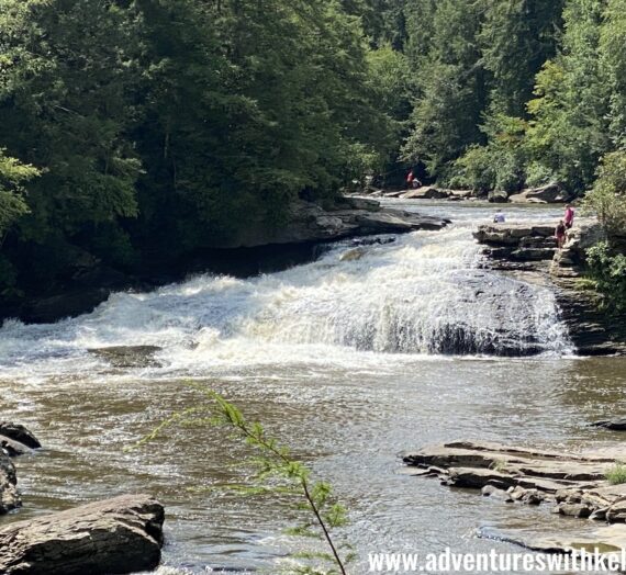
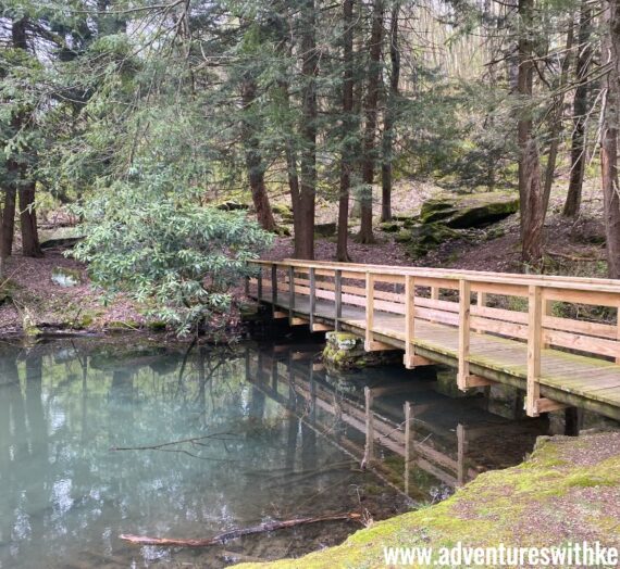
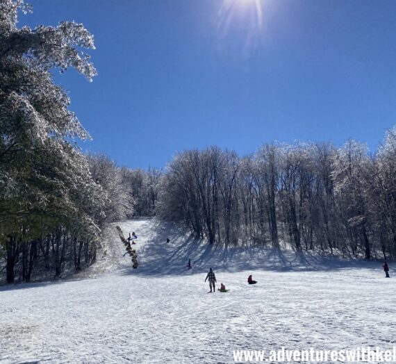
Bear Run Nature Reserve is a wonderful trail system to explore near Ohiopyle, PA. It is managed by the Western Pennsylvania Conservancy and is over 5,100 acres, with 28.5 miles of hiking trails, backcountry campsites, and hunting and fishing opportunities.
It also features the World Heritage Site of Frank Lloyd Wright’s Fallingwater (please note, you must book a tour to visit Fallingwater). Visit Bear Run’s website for all the information you may need including camping reservations and hunting permits.

What I love most about Bear Run is the the well-marked color-coded trail system that is incredibly user-friendly, essentially creating a sort of park-and-go situation, even if you are unfamiliar with the area.

Simply stop at the kiosk in the parking area to refer to a map that describes the color-coded loop trail system based on distance, estimated time of completion, and difficulty.

Here is a copy of the map for reference. Pick a color and hit the trail. Check out this post for more details about the yellow and red loops.
| Colored Loop | Mileage | Estimated Time | Difficulty |
| White | .8 | 20 min | Easy |
| Yellow | 1.8 | 40 min | Easy |
| Orange | 4.1 | 2 hrs | Moderate |
| Red | 5.1 | 2.5 hrs | Moderate |
| Blue | 5.7 | 3.5 hrs | Difficult |
| Black | 11.9 | 6.5 hrs | Difficult |
Hiking to Paradise Overlook – The Short Way
When it comes to planning a hike, oftentimes I love to browse maps and pick something new to explore.
One day I noticed a point of interest in Bear Run on my Ohiopyle Purple Lizard map (which I picked up at Kickstand Kitchen in Connellsville and love so much). Comparing it to the Bear Run Nature Reserve Map it looked to be an overlook.
It’s located on the Black Loop which is described as an 11.9 mile loop, definitely a distance I’m not ready to take on with my young children. But, I was curious how far it is for a shortcut way out and back hike. So this post will describe the hike to the Paradise Overlook, the short way (the pink route in picture below).

This point contains affiliate links which means I may receive a small commission at no additional cost to you if you make a purchase.
Summary
- Parking – park in a large lot behind The Barn at Fallingwater
- Bathrooms – I’d suggest using public restrooms in Ohiopyle before parking (about 4 miles away)
- Distance – about 1.3 miles one way (according to my Strava, but sometimes I take some extra steps chasing my kids around)
- Terrain – Jeep trail and hiking trail, little elevation change
- Hiking with kids – During our last visit, we carried our baby in a child carrier and my 3 and 5-year-olds hiked on their own with some encouragement (e.g. special treat like a Swedish Fish at each trail marker). Click here if you are interested in learning more about our favorite gear that keeps us outside.
- When to go – I highly suggest doing this hike after leaves have fallen. We have attempted this with leaves on trees and could hardly see the view. Be mindful that this area is open to hunting so be sure to wear bright orange if you are hiking during hunting season.
- Some of my favorite orange gear – beanie with a ponytail hole, Frogg Togg hunting vest, kids orange reflective vest

Parking and Restrooms
There is a large parking area at the trailhead located behind The Barn at Fallingwater, about 4 miles north of Ohiopyle on PA-381. I’m not sure if there are restroom facilities open in the barn or not. So I typically plan for my family to use the restroom in Ohiopyle before parking at the trailhead (either at the main visitor center, or the visitor center on the bike trail).
The Hike
To hike to the overlook the short way, we set out on the Black Trail in a clockwise direction. This involved starting the trail across the road (381) from the parking area at what looked to be a service road.

I’ll admit I felt a little unsure if this was the right way, but we found a black trail marker on the post reassuring us that we were on the right path.

We continued hiking straight on the road for what felt like a half mile or so.

As the road began to curve to the right, we found a trail marker that guided us to spur off to the left.

After continuing a short distance on a slightly narrower trail, we kept an eye out for a left turn we were anticipating.

A trail marker guided us to the left onto a hiking trail.

We continued following the black trail markers through a wooded area.

Then, we made a right when we found a Paradise Overlook trail marker to a better-maintained trail.

A final section about a quarter mile long (if I had to guess) led to a clearing and we began to hear the river off in the distance.
The overlook had a flat area with benches and a dropoff (with chains) so we kept the kids close.
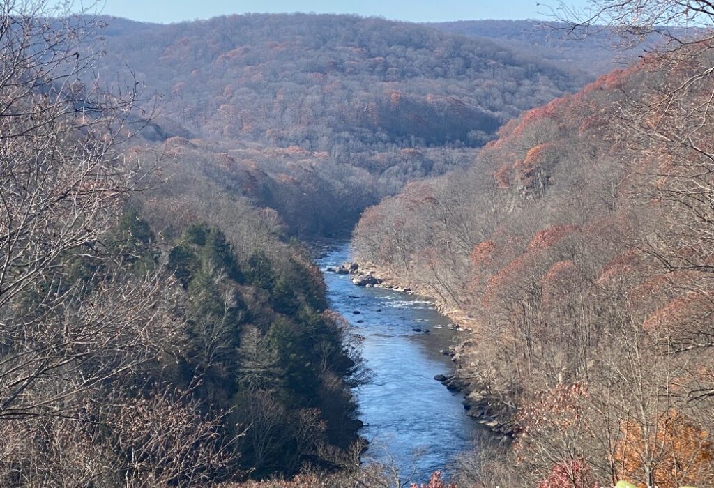
What a beautiful view! This was a great place to relax and enjoy some snacks, like pepperoni rolls (one of our go-to on-the-go snacks).

After we enjoyed the view, we simply hiked the roughly 1.3 miles back the way we came.
Here is a breakdown of our hike (one way) for reference. Leave a comment to share your adventures or tag your adventures Instagram (@adventureswkelly). I want to see your adventures at Paradise Overlook in Bear Run Nature Reserve.

Nearby Attractions
If you like to explore overlooks, here are some other nearby overlooks to explore:
- hike from Ohiopyle to Baughman Overlook, or park and view
- hike a short distance to Tharp Knob Overlook (tip – playground nearby)
- hike about 2.5 miles up the Laurel Highlands hiking trail (starting behind Falls City Pub) to a beautiful overlook (it’s a thigh burner climb)
- take in the view from the Cross at Jumonville
- park and view The Scenic Overlook on Route 40
- during the warmer months, grab a bite or stay overnight at The Historic Summit Inn and enjoy some wonderful overlook views
Check out some of my other favorite hikes in the area:
- Sugar Run Waterfall Loop Hike – Ohiopyle State Park, PA
- Great Gorge Trail Hike – GAP to Cucumber Falls – Ohiopyle, PA
- Jumonville Glen – Hopwood, PA
- Quebec Run Wild Area – Mill Run to Grist Mill Loop Hike
Other nearby attractions:


